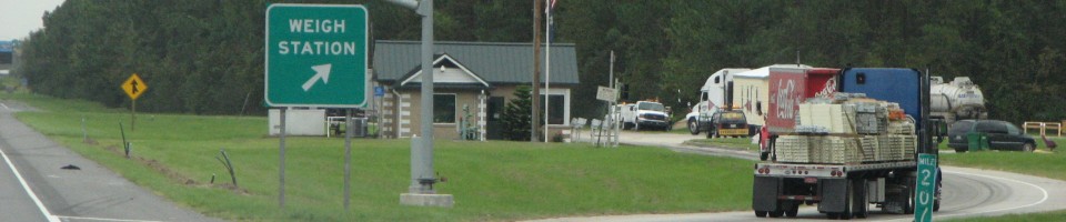
North Carolina Weigh Station & DOT Information

Total Weigh Stations & Truck Scales: 21
North Carolina has color-coded signs to tell you if the weigh station is open or closed. Closed is in red lights and Open is in green lights. This is not a uniform color-coding in all states- some use red for open and green for closed.
North Carolina is one of the few-remaining smoker-friendly states. If you’re a smoker- cigarettes, pipes or cigars- or if you just like outlet shopping, you’ll want to stop by one of the J.R. Outlets- they are located in Burlington (I 40, exit 143), Statesville (I 77, exit 50) and Selma (I 95, exit 87). None of the J.R. stores allow truck parking on their property, but most of them have nearby truck parking options if you’re willing to be a little creative. One J.R. Outlet store is just down the hill from a mall, one has a street out front with a wide shoulder trucks park on and a large turnaround area where the street ends, and one has other nearby businesses that don’t sport the “No Truck Parking” signs that J.R. is so fond of. J.R. Outlet stores have cigar and pipe tobacco sales areas in humidors that are larger than many convenience stores. They also sell all kinds of clothing, audio books, toiletries, shoes, nick nacks and odds and ends… Normally we wouldn’t support a store that so blatantly snubs truckers, but if you like cigars, it’s the place to go.
The North Carolina fuel tax rate is $0.302 per gallon of diesel, which includes a $0.0025 per gallon inspection tax. The North Carolina fuel tax rate is variable. It is calculated from a base rate of $0.175 per gallon and a wholesale price component of $0.1235 per gallon.
Over-Gross Weight Tolerance: Premium Content
Over-Axel Weight Tolerance: Premium Content
Overweight Fines and Consequences: Premium Content
Dodging the Scales: Premium Content
Blowing By the Scales: Premium Content
[wp_ad_camp_2]
| Weigh Station Name | Highway / Route | Mile | Truck Scale Location |
|---|---|---|---|
| Hertford (Elizabeth City) | RT 17 – nb | Hertford (8 miles north of Hertford) | |
| Hertford (Elizabeth City) | RT 17 – sb | Hertford (8 miles north of Hertford) | |
| Hendersonville (Asheville) | I 26 – eb | 46 | Hendersonville (north of US 64) |
| Hendersonville (Asheville) | I 26 – wb | 46 | Hendersonville (north of US 64) |
| Charlotte | RT 29 74 – nb | Charlotte (just north/east of the route 7 south turnoff) | |
| Asheville | I 40 – eb | 40.5 | Asheville (5 miles west of I 26) |
| Asheville | I 40 – wb | 40.75 | Asheville (5 miles west of I 26) |
| Statesville | I 40 – eb | 142.75 | Statesville (10 miles west of I 77) |
| Statesville | I 40 – wb | 143.25 | Statesville (10 miles west of I 77) |
| Hillsborough | I 40 I 85 – nb | 158 | Hillsborough (6 miles west of Hillsborough, between Chapel hill and Burlington) |
| Hillsborough | I 40 I 85 – sb | 158 | Hillsborough (6 miles west of Hillsborough, between Chapel hill and Burlington) |
| Kinston | RT 70 – eb | Kinston (jct of US 70 and US 258) | |
| Kinston | RT 70 – wb | Kinston (jct of US 70 and US 258) | |
| Mt. Airy | I 77 – nb | 103 | Mt. Airy (3 miles south of VA border) |
| Mt. Airy | I 77 – sb | 103 | Mt. Airy (3 miles south of VA border) |
| Charlotte | I 85 – nb | 28 | Charlotte (1 mile east of NC 273) |
| Charlotte | I 85 – sb | 28 | Charlotte (1 mile east of NC 273) |
| Rocky Mount | I 95 – nb | 151.5 | Halifax County (13 miles north of US 64) |
| Rocky Mount | I 95 – sb | 151.5 | Halifax County (13 miles north of US 64) |
| Lumberton | I 95 – nb | 24 | Lumberton |
| Lumberton | I 95 – sb | 24 | Lumberton |