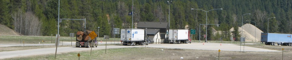

South Dakota Weigh Station & DOT Information

Total Weigh Stations & Truck Scales: 18
The home of the Plains Indians, Laura Ingalls, Mt. Rushmore, Crazy Horse and, of course, Sturgis. There is a week-long biker rally in Sturgis every August. Hundreds of thousands of bikers descend on the town which has a population of only 6,000.
The South Dakota fuel tax rate is $0.24 per gallon of diesel. This rate includes a $0.02 per gallon tank inspection fee.
[wp_ad_camp_2]
| Weigh Station Name | Highway / Route | Mile | Truck Scale Location |
|---|---|---|---|
| Wolsey | RT 281, 14 – sb | Wolseay (at the junction of route 218 and route 14) | |
| Lemmon | RT 12 73 – nb sb | Lemmon (southeast corner of the 12/73 junction, near the Montana border) | |
| Millbank | RT 12 – eb | Milbank | |
| Millbank | RT 12 – wb | Milbank | |
| Blunt (Pierre) | RT 14 83 – nb sb | Blunt (4 miles west of Blunt at the junction of 14 and 83) | |
| Rapid City | RT 16 79 – nb eb | Rapid City (just south of the junction of 16 and 79) | |
| Winner | RT 18 183 – nb sb | 244 | Winner (just east of the junction of 18 and 183) |
| Buffalo | RT 85 20 – nb sb | Buffalo (northwest corner of the state) | |
| Jefferson | I 29 – nb | 13 | Jefferson |
| Sioux Falls | I 29 – nb | Sioux Falls (exit 81 Russel Street) | |
| Sioux Falls | I 29 – sb | Sioux Falls (exit 81 Russel Street) | |
| Sisseton | I 29 – sb | 235 | Sisseton (northeast corner of the state) |
| Mayfield | RT 46 81 – nb sb | Mayfield (just west of route 81 on route 46, 43.2 miles south of I 90, 15.4 miles north of Nebraska state line) | |
| Yankton | RT 50 41 – nb sb | Yankton | |
| Dupree | RT 65 212 – nb sb | Dupree (at the junction of 65 and 212) | |
| Tilford (Rapid City) | I 90 – eb | 39 | Tilford |
| Mitchell | I 90 – eb | 330 | Mitchell |
| Mitchell | I 90 – wb | 330 | Mitchell |